The Fire Severity Mapping System project (FIRESEV) is geared toward providing fire managers across the western United States critical information about the potential ecological effects of wildland fire at multiple levels of thematic, spatial, and temporal detail.
A major component of FIRESEV is a comprehensive map of the western U.S. depicting the potential for fires to burn with high severity if they should occur. Developed as a 30m-resolution raster dataset, the map is intended to be an online resource that managers can download and use to evaluate the potential ecological effects associated with new and potential fire events. See the FIRESEV documentation page for more information and publications about the FIRESEV Severe Fire Potential map.
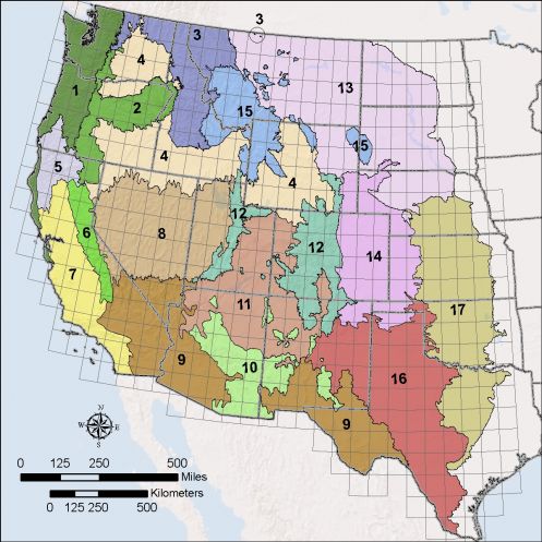
The FIRESEV Severe Fire Potential map for a 90th percentile fire weather scenario (90th percentile inverted 1000-hour fuel moisture) is available for download from the table below. There is a separate product for forest vs. non-forest settings in each mapping region. Click on a file name in the table to initiate a download (individual download files vary from approximately 8MB to 350MB).
In addition, you can:
- View a metadata file for the Severe Fire Potential map
- Browse a graphic (low-resolution JPG file or higher-resolution PDF file) of the Severe Fire Potential map at its full extent, with forest and non-forest combined.
- View model performance results for the Random Forest statistical models that were used to generate the Severe Fire Potential map for forest and woodland settings or non-forest settings.
While the full extent of the FIRESEV Severe Fire Potential map covers all lands in the western United States, statistical modeling and mapping work was conducted separately for forested and non-forested settings in each of the 17 mapping regions.